

ENCHPOPGOS Conference 2017. Leigh Shaw-Taylor. The towns project and the towns database
Duration: 38 mins
Share this media item:


Embed this media item:
Embed this media item:
About this item
| Description: | This talk, was given by Leigh Shaw-Taylor, Cambridge Group for the History of Population and Social Structure, at the inaugural confernece of the European Network for the Comparative History of Population Geography and Occupational Structure, held at Robinson College, Cambridge in September 2017. |
|---|
| Created: | 2018-01-09 14:47 | ||
|---|---|---|---|
| Collection: | Economic and Social History | ||
| Publisher: | University of Cambridge | ||
| Copyright: | L.M.W. Shaw Taylor | ||
| Language: | eng (English) | ||
| Keywords: | Economic History; Occupational Structure; Towns; Urbanisation; Urban History; | ||
| Credits: |
|
||
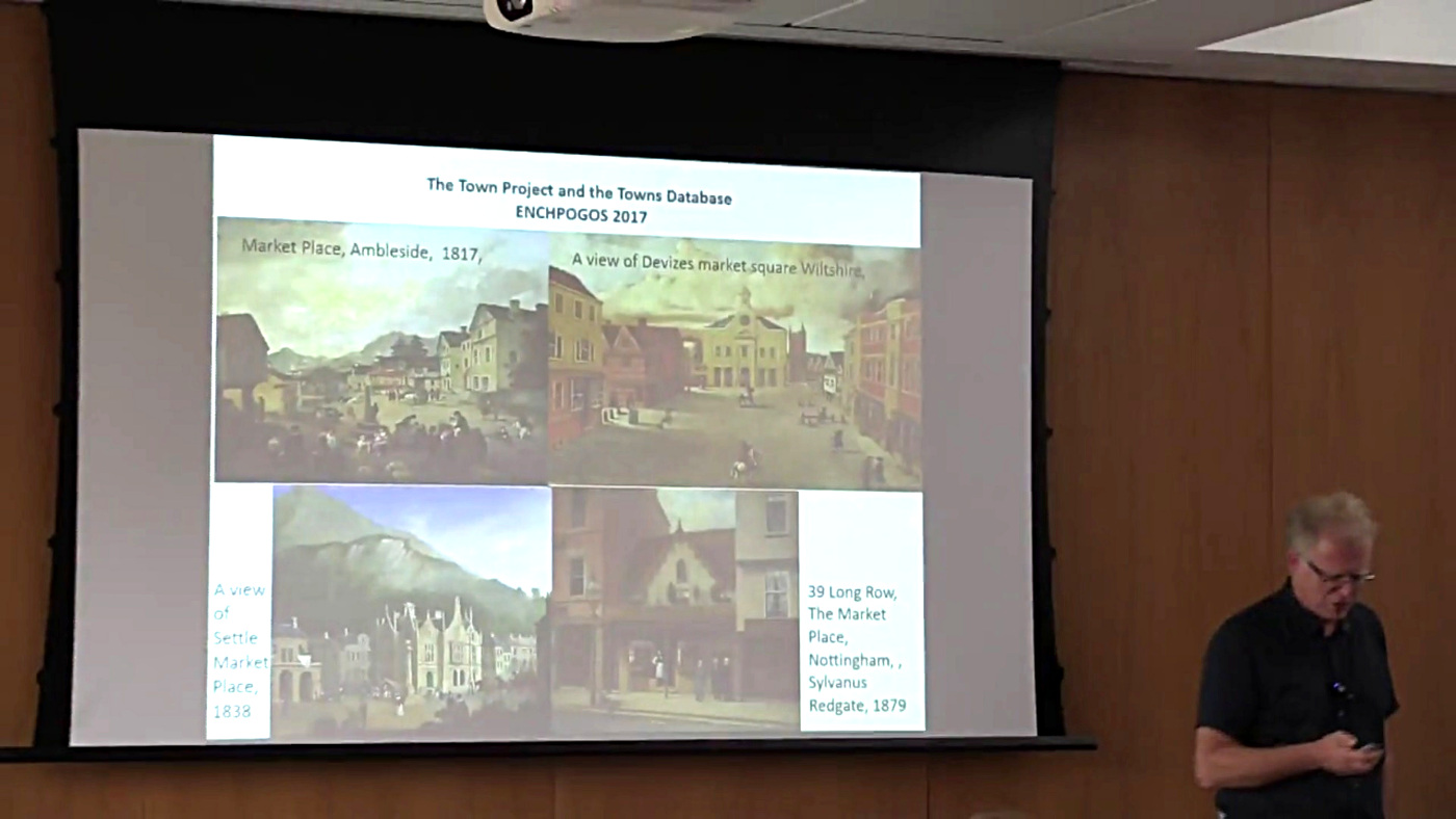
| Abstract: | The talk describes a project which begin life with the limited objective of re-organising occupational datasets which recorded the occupational structures of 11,400 - 15,000 individual parishes so that we could pull out the occuptional strucures of towns, villages and rural areas. The problem may be illustrated by the example of Cambridge, which at the beginning of the nineteenth century consisted of 18 parishes but grew over the course of the century to encompass, or partly encompass a number of previously rural parishes. Thus the spatial defintion of a town varies over time. It soon became apparent that there was no agreement as in the literature as to what constitutes a town and that inconsistent approaches meant that long-run urbanisation rates have been assembeld on the basis of quite different criteria in different peiods. One major outcome of the project has been the creation of a database of all settlements that could, on one definition or another be considered a town or which historians have labelled as a town. The database contains entries on c.1,700 candidate towns and records a number of town specific characteristics, including whether it was recorded as having an active market at various dates. The database is accompanied by a set of GIS 'footprints' showing the actual urban area c.1900, the first date at which all towns were mapped by the OS in a consistent way at more or less the same time, What began as a technical issue has opened up a whole series of questions about towns and markets. |
|---|---|
Available Formats
| Format | Quality | Bitrate | Size | |||
|---|---|---|---|---|---|---|
| MPEG-4 Video | 1280x720 | 2.97 Mbits/sec | 848.98 MB | View | ||
| MPEG-4 Video | 640x360 | 1.94 Mbits/sec | 553.10 MB | View | ||
| WebM | 1280x720 | 2.98 Mbits/sec | 851.31 MB | View | ||
| WebM | 640x360 | 1.15 Mbits/sec | 328.16 MB | View | ||
| iPod Video | 480x270 | 522.45 kbits/sec | 145.41 MB | View | ||
| MP3 | 44100 Hz | 249.78 kbits/sec | 69.58 MB | Listen | ||
| Auto * | (Allows browser to choose a format it supports) | |||||